

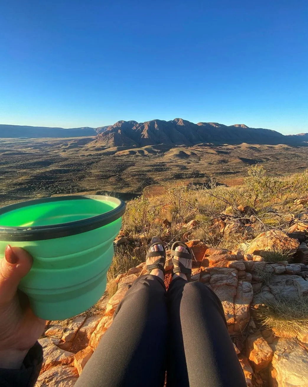
The Larapinta Trail is one of Australia’s most famous hikes, 223 km through the MacDonnell Ranges in the Northern Territory. Starting at the Alice Springs Telegraph Station, the trail goes through rough terrain, old river beds, ridge lines and gorges, and gives you a deep connection to the outback. For those who want solitude and natural beauty the Larapinta Trail offers physical challenge and visual reward.
A common question among hikers is: How long does it take to walk the Larapinta Trail? The answer depends on your experience, preparation and how you plan to tackle this big hike. In this guide, we’ll break down the trail’s logistics, hiking times, key highlights and tips to help you plan your trip.
Larapinta Trail
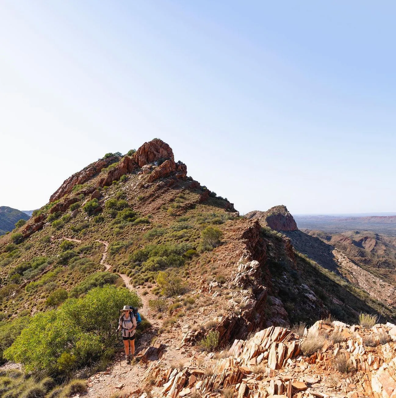
The Larapinta Trail is divided into 12 sections, each with its own unique landscapes, challenges and rewards. From the steep climbs of Euro Ridge to the peaceful waters of Ellery Creek Big Hole, every section is a different adventure. Hikers can do the whole trail in one hit or break it up into multiple trips over several sections.
Features:
- Standley Chasm: A sandstone gorge with cultural significance.
- Ormiston Gorge: Famous for its views and the Ormiston Pound Walk.
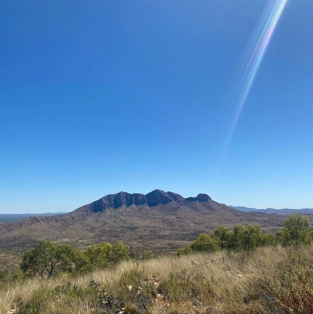
- Mount Sonder: The western end of the trail with sunrise views.
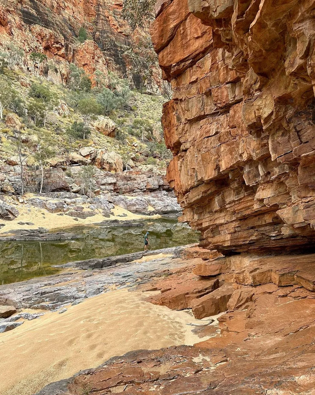
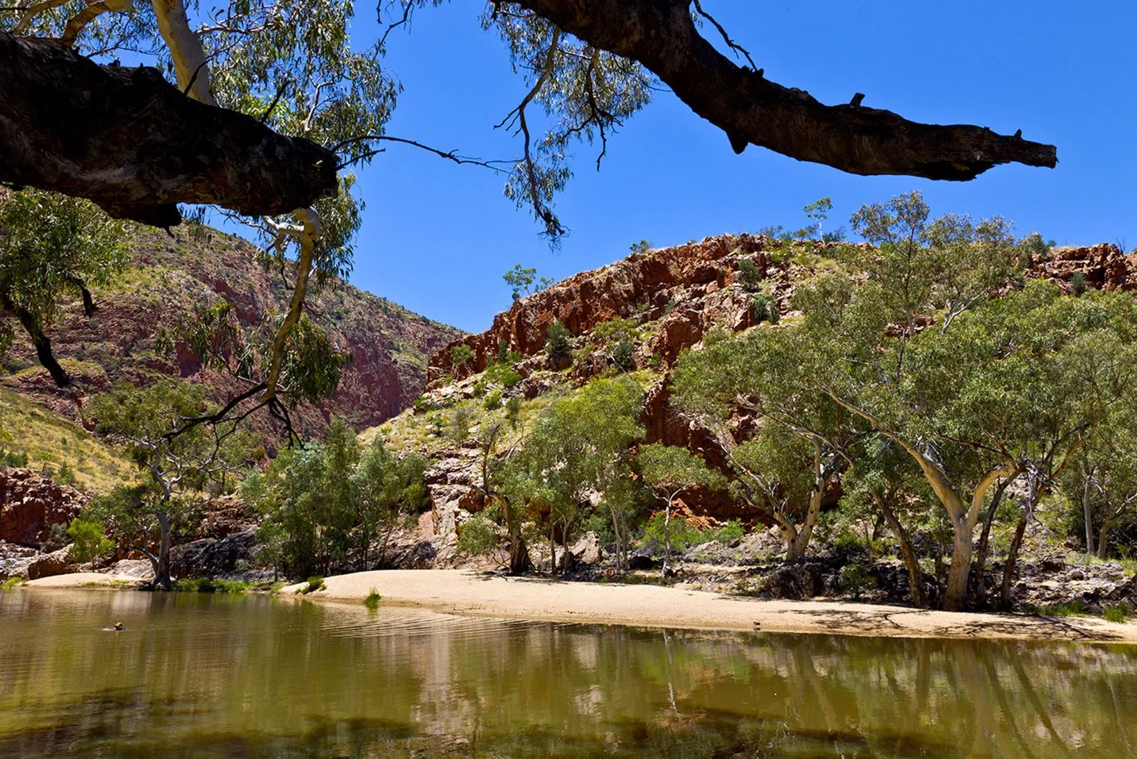
- Ellery Creek Big Hole: A waterhole to cool off.
The trail is suitable for experienced trekkers and beginners. With proper preparation, anyone can do the trail, whether one section or the whole trail
Average Time to Walk
Whole Trail
Walking the whole 223kms takes 12-20 days depending on your pace, fitness and if you take rest days.
- 10-12 days: For experienced hikers who want to do long days (20-25km/day).
- 14-16 days: A moderate pace for most hikers, 15-18 km/day.
- 18-20 days: For those who prefer shorter days and more time to do side trips and relax at campsites.
By Section

If you want to hike specific sections, each section takes 1-2 days:
- Section 1: Alice Springs to Simpsons Gap (24km) – Moderate, Euro Ridge and wildflowers in season.
- Section 3: Jay Creek to Standley Chasm (13km) – Short but tough, steep climbs and rocky gorges.
- Section 10: Ormiston Gorge to Finke River (29km) – A highlight, Razorback Ridge.
Side trips:
- Counts Point: A detour with views of the ranges.
- Ghost Gum Flat: A campsite among native trees.
Factors That Influence Hiking Time
1. Fitness and Experience
- Fit and experienced hikers can do longer sections in a day.
- Beginners or those with lower fitness can do shorter distances and rest days.
2. Trail Conditions
- Rocky gorges, uneven terrain and steep climbs (like Rocky Bar Gap) will slow you down.
- Seasonal conditions like rain will affect some areas, including river beds and creek crossings.
3. Weather
- Best to hike May to September when it’s cooler (10-25 degrees).
- Summer temperatures can be over 40 degrees, hiking is dangerous and hard.
4. Hiking Style
- A lighter pack will get you further. Many hikers use dehydrated meals and arrange food drops at places like Ellery Creek North and Ormiston Gorge.
- Carrying full supplies without food caches will fatigue you and slow you down.
5. Facilities and Support
- Water tanks, camping fees and resupply points like Glen Helen Resort will impact your planning.
- Limited phone reception means carrying a sat phone is recommended for safety.
Planning Your Adventure
Full Itinerary (14 days)
- Day 1-2: Alice Springs to Simpsons Gap – Euro Ridge
- Day 3-4: Simpsons Gap to Standley Chasm – Rocky gorges
- Day 5-6: Jay Creek to Hugh Gorge – Remote ridges and Fringe Lily Creek
- Day 7-8: Ellery Creek North to Serpentine Gorge – Chewings Range and Counts Point
- Day 9-10: Ormiston Gorge to Finke River – Ormiston Pound Walk
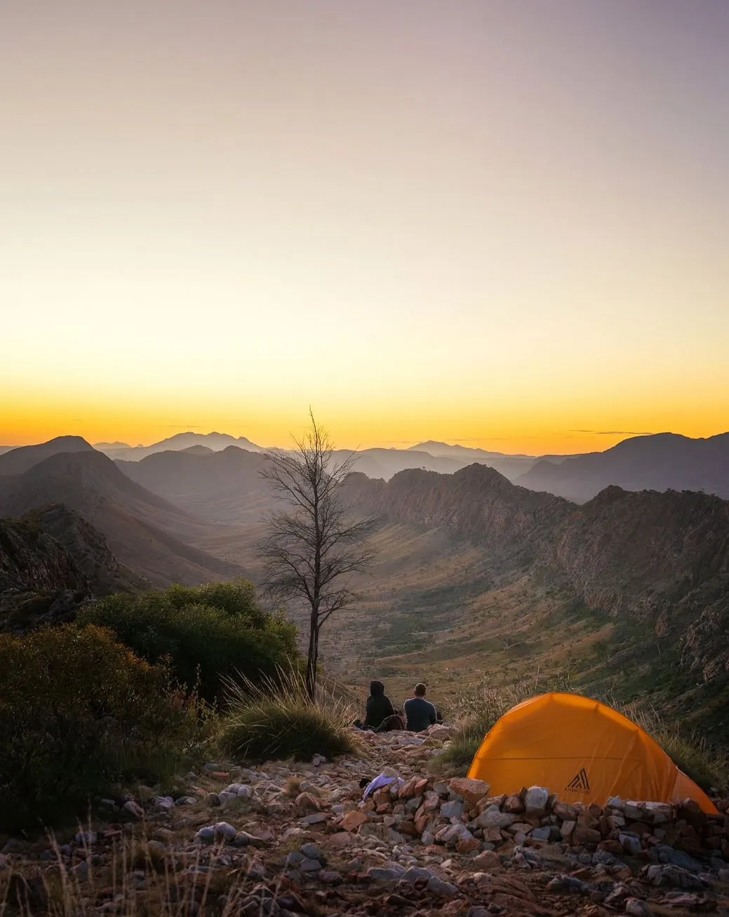
- Day 11-12: Redbank Gorge – Rwetyepme to Mount Sonder – Finish with a spectacular sunrise.
Section Hikes
- Ellery Creek Big Hole to Serpentine Gorge (2 days): A taste of the trail’s variety.
- Standley Chasm to Birthday Waterhole (1-2 days): Short and steep.
Challenges of the Larapinta Trail
1. Water
- Water tanks are at campsites but always carry extra water.
- Rocky Gully has limited water sources.
2. Terrain
- Steep climbs, rocky paths and narrow ridges. Counts Point and Serpentine Gorge are rough.
3. Isolation
- The isolation is part of the fun but also a challenge. Limited phone signal means you need to be self sufficient.
Tips for a Successful Hike
Remote Conditions
- Carry a sat phone and navigation tools like maps or GPS.
Lighten Your Load
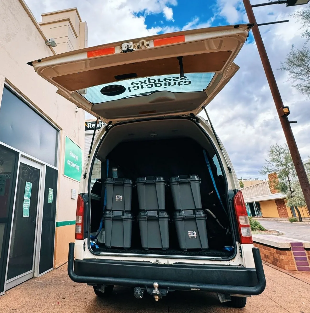
- Use Larapinta Food Drops to reduce your pack weight.
- Use lightweight camping gear and plan meals with a food dehydrator.
Train in Advance
- Hike long distances with a fully loaded pack.
- Focus on strength for climbs like Razorback Ridge and Heavitree Range.
Book in Advance
- Campsites especially private campgrounds fill up in peak season.
- Use the parks booking system for popular areas like Standley Chasm.
Must-See Highlights
- Standley Chasm: Best at midday when the sun hits the red walls.
- Ormiston Gorge: Don’t miss the Ormiston Pound Walk.
- Mount Sonder: The end of the trail, a great sunrise climb.
- Fringe Lily Creek: A hidden gem, peaceful.
Conclusion
Walking the Larapinta Trail is a once in a lifetime experience, physical challenge and natural beauty. Whether you do the whole trail in two weeks or shorter hikes, proper preparation will ensure a safe and enjoyable trip. From the gorges of Standley Chasm to the peaks of Mount Sonder every step reveals another layer of the Australian outback. Nearby Larapinta Trail tours such as those with Autopia Tours, Larapinta Trail Tour & Wildlife Tours can enhance your hiking experience by visiting other attractions in Central Australia.
FAQs
How much water should I carry on the Larapinta Trail?
3-5 liters per day depending on weather.
What’s the best time to hike the Larapinta Trail?
May to September.
Are there showers on the trail?
Hot showers at Glen Helen Resort and other official trailhead campgrounds.
Can beginners hike the Larapinta Trail?
Yes, but start with shorter sections like Ellery Creek to Serpentine Gorge to get your confidence up.
Is camping gear available for hire in Alice Springs?
Yes, you can rent lightweight gear and arrange food boxes through local suppliers.